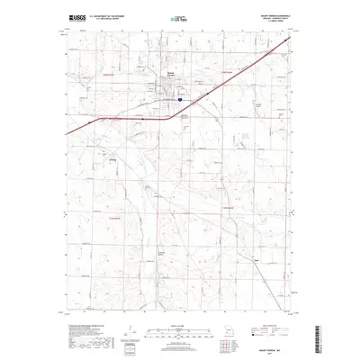
2017 Map of Mount Vernon
USGS Topo · Published 2017About this map
Mount Vernon serves as the central hub of this Lawrence County landscape, where the headwaters of the Spring River and Williams Cr cut through the terrain. The map reveals a high density of burial sites that provide a window into the area's genealogical history, including the Spanish Fort Cem and the Independent Order of Odd Fellows Cem. Smaller settlements like Hoberg and Opal anchor the outlying rural sections, connected by a network of county roads and state highways that replaced older pioneer trails. To the west, the topography drops into Browning Hollow, while the eastern portion is marked by the presence of Springhill Airport and Faucett Lake. The layout of Mount Vernon itself shows a detailed grid including W Mt Vernon Blvd and Gibbs Ave, reflecting the town's steady development as a regional crossroads.
Find a feature on this map
77 named features on this map. Tap any name to fly to it.
Don’t see what you’re looking for? This feature index may not catch every label — zoom into the map to look around manually.
Map Details
Editions of this 2017 Mount Vernon Map
This is the sole edition of this map. No revisions or reprints were ever made.
Other maps of this area
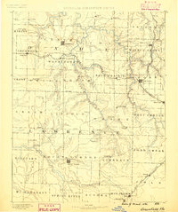
1886 · Greenfield
USGS Topo · 1:125,000
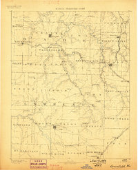
1888 · Greenfield
USGS Topo · 1:125,000
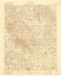
1919 · Halltown
USGS Topo · 1:62,500
1921 · Stotts City
USGS Topo · 1:62,500
1942 · Aurora
USGS Topo · 1:62,500
1943 · Monett
USGS Topo · 1:62,500
1945 · Harrison
USGS Topo · 1:250,000
1945 · Aurora
USGS Topo · 1:62,500
1949 · Harrison
USGS Topo · 1:250,000
1954 · Harrison
USGS Topo · 1:250,000