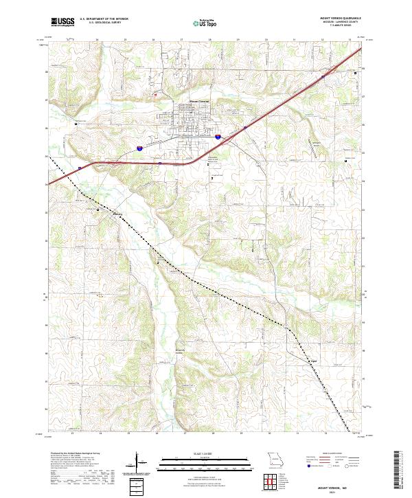
2021 Map of Mount Vernon
USGS Topo · Published 2021About this map
Mount Vernon serves as the focal point of this Lawrence County landscape, situated where the rolling Ozark terrain meets a network of vital waterways. The Spring River and Honey Creek carve through the southern and western portions of the quadrangle, while Williams Creek flows past the northern edge of the county seat. This 2021 survey documents the modern layout of the city, including the Lawrence County Justice Center and landmarks like the Independent Order of Odd hall.
Find a feature on this map
97 named features on this map. Tap any name to fly to it.
Don’t see what you’re looking for? This feature index may not catch every label — zoom into the map to look around manually.
Map Details
Editions of this 2021 Mount Vernon Map
This is the sole edition of this map. No revisions or reprints were ever made.
Other maps of this area

1886 · Greenfield
USGS Topo · 1:125,000

1888 · Greenfield
USGS Topo · 1:125,000

1919 · Halltown
USGS Topo · 1:62,500

1921 · Stotts City
USGS Topo · 1:62,500

1942 · Aurora
USGS Topo · 1:62,500

1943 · Monett
USGS Topo · 1:62,500

1945 · Harrison
USGS Topo · 1:250,000

1945 · Aurora
USGS Topo · 1:62,500

1949 · Harrison
USGS Topo · 1:250,000

1954 · Harrison
USGS Topo · 1:250,000