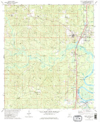
1982 Map of Mount Vernon
USGS Topo · Published 1982About this map
Mt Vernon and the surrounding riverfront communities sit at the intersection of the Mobile River and the industrial corridors of the Southern and Burlington Northern railroads. This 1982 map illustrates a landscape shaped by both institutional presence and the natural drainage of the Cedar Creek system. The extensive grounds of the Searcy State Hospital dominate the area just west of the town center, while smaller settlements like Movico, Chastang, and Bucks line the rail and road networks to the south. Historically significant landmarks such as Stage Coach Woods and the Chastang Landing on the riverbank reflect the area's role as a transit point. Numerous family and community sites, including Byrd Cem and Calcedeaver Sch, are situated among the intricate creek forks and local resource extractions like the various sandpits found throughout the terrain.
Find a feature on this map
52 named features on this map. Tap any name to fly to it.
Don’t see what you’re looking for? This feature index may not catch every label — zoom into the map to look around manually.
Map Details
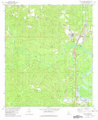
Editions of this 1982 Mount Vernon Map
2 editions found
Other maps of this area

1941 · Bay Minette
USGS Topo · 1:62,500

1941 · Creola
USGS Topo · 1:62,500

1943 · Creola
USGS Topo · 1:62,500

1943 · Bay Minette
USGS Topo · 1:62,500

1943 · Tensaw
USGS Topo · 1:62,500

1943 · Citronelle
USGS Topo · 1:62,500

1944 · Tensaw
USGS Topo · 1:62,500

1946 · Citronelle
USGS Topo · 1:62,500

1953 · Andalusia
USGS Topo · 1:250,000

1953 · Hattiesburg
USGS Topo · 1:250,000