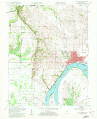
1957 Map of Mount Vernon
USGS Topo · Published 1960About this map
The Ohio River dominates this mid-century portrait of Mount Vernon, where the intersection of water, rail, and industry defined the landscape. Industry is prominent on the city's outskirts, marked by a significant Oil Refinery and multiple pipelines, while the town center is anchored by landmarks like the Memorial Bldg and Hedges Central Sch. The river itself is a bustling corridor, featuring Mount Vernon Towhead and several markers like Mile 829, illustrating the importance of navigation to this Posey County hub.
Find a feature on this map
60 named features on this map. Tap any name to fly to it.
Don’t see what you’re looking for? This feature index may not catch every label — zoom into the map to look around manually.
Map Details
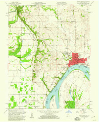
Editions of this 1957 Mount Vernon Map
2 editions found
Other maps of this area

1903 · New Harmony
USGS Topo · 1:62,500

1903 · Patoka
USGS Topo · 1:125,000

1905 · New Haven
USGS Topo · 1:62,500

1906 · New Haven
USGS Topo · 1:62,500

1917 · Uniontown
USGS Topo · 1:62,500

1938 · New Harmony
USGS Topo · 1:62,500

1940 · Carmi
USGS Topo · 1:62,500

1943 · Carmi
USGS Topo · 1:62,500

1949 · Paducah
USGS Topo · 1:250,000

1949 · New Haven
USGS Topo · 1:62,500