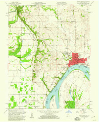
1957 Map of Mount Vernon
USGS Topo · Published 1960About this map
Mount Vernon serves as the industrial and civic anchor of this riverfront survey, positioned where the Louisville and Nashville railroad meets the Ohio River. The river's influence is clear in the local geography, from the Slim Island and Mount Vernon Towhead formations to the complex drainage of Whipple Ditch and Brewery Ditch. Just outside the city, the landscape transitions into active Oil Field zones and infrastructure like an Oil Refinery, signaling the mid-century energy economy of Posey County.
Find a feature on this map
54 named features on this map. Tap any name to fly to it.
Don’t see what you’re looking for? This feature index may not catch every label — zoom into the map to look around manually.
Map Details
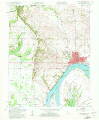
Editions of this 1957 Mount Vernon Map
2 editions found
Other maps of this area

1903 · New Harmony
USGS Topo · 1:62,500

1903 · Patoka
USGS Topo · 1:125,000

1905 · New Haven
USGS Topo · 1:62,500

1906 · New Haven
USGS Topo · 1:62,500

1917 · Uniontown
USGS Topo · 1:62,500

1938 · New Harmony
USGS Topo · 1:62,500

1940 · Carmi
USGS Topo · 1:62,500

1943 · Carmi
USGS Topo · 1:62,500

1949 · Paducah
USGS Topo · 1:250,000

1949 · New Haven
USGS Topo · 1:62,500