
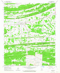
1963 Map of Mount Vernon
USGS Topo · Published 1964About this map
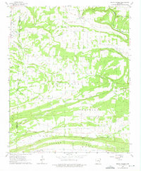
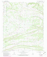
Mount Vernon sits at the intersection of local routes in Faulkner County, serving as a primary point of reference in a landscape defined by dramatic ridges and creek valleys. To the north, the settlement of Romance overlooks the winding course of Muddy Bayou, while the southern portion of the map is dominated by the prominent El Paso Bull Mountain Ridge. The topography here shows a clear pattern of rural development, with farms and homesteads often clustered along the lower elevations of Little Creek and Bull Creek, avoiding the steeper slopes of Black Jack Mountain. Cultural markers such as Smyrna Ch, Union Hill Ch, and Hammons Chapel Cem indicate established communities along these watercourses. This 1963 survey captures the area before modern expansion, showing a network of unimproved dirt roads and selected fence lines that reveal the mid-century agricultural footprint across the Cadron and Jefferson boundaries.
Find a feature on this map
31 named features on this map. Tap any name to fly to it.
Don’t see what you’re looking for? This feature index may not catch every label — zoom into the map to look around manually.
Map Details
Editions of this 1963 Mount Vernon Map
3 editions found
Other maps of this area

1953 · Memphis
USGS Topo · 1:250,000

1956 · Memphis
USGS Topo · 1:250,000

1956 · Russellville
USGS Topo · 1:250,000

1963 · Rose Bud
USGS Topo · 1:24,000

1963 · Floyd
USGS Topo · 1:24,000

1963 · Enola
USGS Topo · 1:24,000

1963 · Sidon
USGS Topo · 1:24,000
1963 · Beebe
USGS Topo · 1:24,000
1963 · Mountain Springs
USGS Topo · 1:24,000
1963 · Vilonia
USGS Topo · 1:24,000