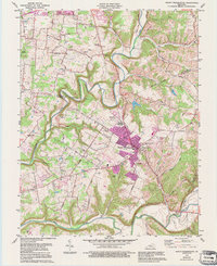
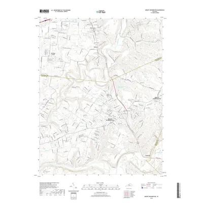
1982 Map of Mount Washington
USGS Topo · Published 1990About this map
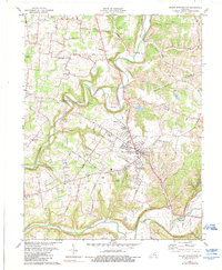
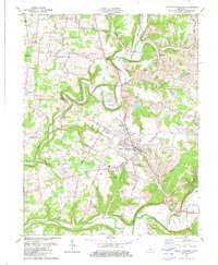
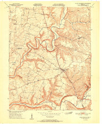
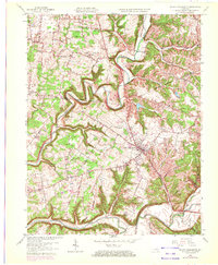
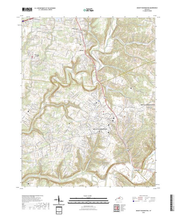
The town of Mount Washington serves as the central hub of this Bullitt County landscape, situated at the crossroads of several historic local routes like Flat Rock Road and Bethany Road. The area is defined by the winding course of Floyds Fork and the Salt River along the southern boundary, where the terrain transitions from upland plateaus to deep river valleys. This topography influenced the placement of numerous family and community landmarks, including a significant concentration of burial sites such as Highland Mem Gardens Cem, Showalter Cem, and St Francis Cem.
Find a feature on this map
63 named features on this map. Tap any name to fly to it.
Don’t see what you’re looking for? This feature index may not catch every label — zoom into the map to look around manually.
Map Details
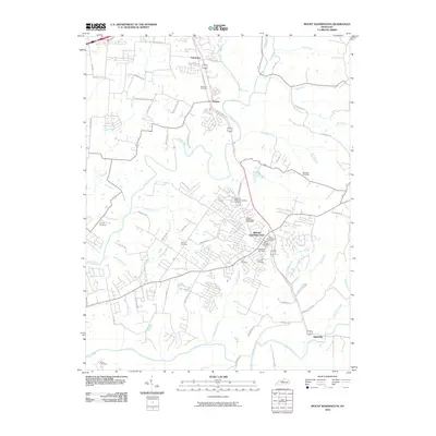
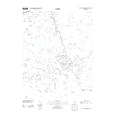
Editions of this 1982 Mount Washington Map
3 editions found
Historical Maps of Louisville Through Time
8 maps found
1951 Mount Washington
Bullitt County, KY
1959 Mount Washington
Bullitt County, KY
1982 Mount Washington
Bullitt County, KY
2010 Mount Washington
Bullitt County, KY
2013 Mount Washington
Bullitt County, KY
2016 Mount Washington
Bullitt County, KY
2019 Mount Washington
Bullitt County, KY
2022 Mount Washington
Bullitt County, KY