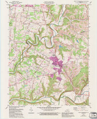
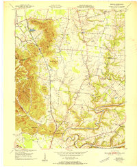
1982 Map of Mount Washington
USGS Topo · Published 1995About this map
Mount Washington serves as the focal point of this northern Bullitt County landscape, shown during a period of urban expansion into the surrounding Kentucky countryside. The settlement is anchored by several historic community markers, including Mount Washington Cemetery, St. Francis Cemetery, and Showalter Cemetery. To the north, the smaller community of Fairmount sits near the winding course of Floyds Fork, while the southern boundary is defined by the broad curves of the Salt River near Smithville. The map illustrates the transition from rural agricultural land to suburban development, with many family-named roads like Thixton Road and Jasper Road providing access to older landmarks. Genealogists will find a high density of burial grounds, such as Gentry Cemetery and Perkins Cemetery, which remain preserved even as newer developments like the Trailer Park and Sewage Disposal facility appear on the outskirts of the town.
Find a feature on this map
53 named features on this map. Tap any name to fly to it.
Don’t see what you’re looking for? This feature index may not catch every label — zoom into the map to look around manually.
Map Details
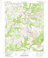
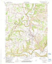
Editions of this 1982 Mount Washington Map
3 editions found
Other maps of this area

1907 · Louisville
USGS Topo · 1:62,500

1929 · Taylorsville
USGS Topo · 1:62,500

1949 · Shepherdsville
USGS Topo · 1:24,000

1949 · Samuels
USGS Topo · 1:24,000

1949 · Shepherdsville
USGS Topo · 1:62,500
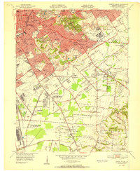
1951 · Louisville East
USGS Topo · 1:24,000

1951 · Jeffersontown
USGS Topo · 1:24,000

1951 · Fisherville
USGS Topo · 1:24,000

1951 · Waterford
USGS Topo · 1:24,000
1951 · Brooks
USGS Topo · 1:24,000