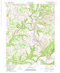
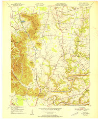
1982 Map of Mount Washington
USGS Topo · Published 1982About this map
The Mount Washington area is characterized by the winding path of Floyds Fork as it cuts through the landscape toward its confluence with the Salt River. This 1982 survey captures the community during a period of established local centers like Fairmount and Smithville, along with the industrial activity at the Quarry near the northern border. The abundance of family and community burial grounds, such as Highland Mem Gardens Cem, St Francis Cem, and Showalter Cem, provides a significant record for genealogical research in this part of Bullitt and Jefferson counties.
Find a feature on this map
48 named features on this map. Tap any name to fly to it.
Don’t see what you’re looking for? This feature index may not catch every label — zoom into the map to look around manually.
Map Details
Editions of this 1982 Mount Washington Map
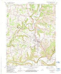
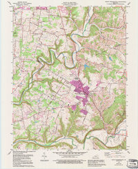
3 editions found
Other maps of this area

1907 · Louisville
USGS Topo · 1:62,500

1929 · Taylorsville
USGS Topo · 1:62,500

1949 · Shepherdsville
USGS Topo · 1:24,000

1949 · Samuels
USGS Topo · 1:24,000

1949 · Shepherdsville
USGS Topo · 1:62,500
1951 · Louisville East
USGS Topo · 1:24,000

1951 · Jeffersontown
USGS Topo · 1:24,000

1951 · Fisherville
USGS Topo · 1:24,000

1951 · Waterford
USGS Topo · 1:24,000
1951 · Brooks
USGS Topo · 1:24,000