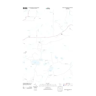
2013 Map of Mount Whittlesey
USGS Topo · Published 2013About this map
Mt Whittlesey rises as a prominent landmark in this northern Wisconsin landscape, overlooking a complex network of glacial lakes and creek systems. The settlement of Ballou sits centrally, while Tyler Forks and O'Dovero Farms mark human presence along the corridor of Wi-77. The terrain is defined by its water, from the winding Bad River in the south to the northern drainage of Montreal Cr and Tyler Forks.
Find a feature on this map
47 named features on this map. Tap any name to fly to it.
Don’t see what you’re looking for? This feature index may not catch every label — zoom into the map to look around manually.
Map Details
Editions of this 2013 Mount Whittlesey Map
This is the sole edition of this map. No revisions or reprints were ever made.
Other maps of this area

1940 · Butternut
USGS Topo · 1:48,000

1940 · Upson
USGS Topo · 1:48,000

1942 · Glidden
USGS Topo · 1:48,000

1942 · Mellen
USGS Topo · 1:48,000

1943 · Upson
USGS Topo · 1:48,000

1945 · Glidden
USGS Topo · 1:48,000

1945 · Mellen
USGS Topo · 1:48,000

1947 · Butternut
USGS Topo · 1:48,000

1950 · Butternut
USGS Topo · 1:48,000

1953 · Ashland
USGS Topo · 1:250,000