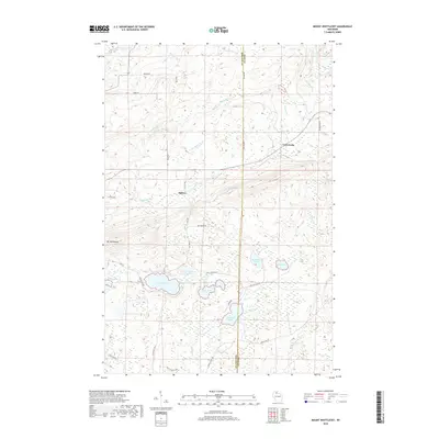
2018 Map of Mount Whittlesey
USGS Topo · Published 2018About this map
Mt Whittlesey rises prominently in this landscape where the borders of Ashland and Iron counties meet. This 2018 survey documents a region defined by an intricate network of glacial lakes and headwater streams, including the southern reaches of Montreal Cr and the westward-flowing Bad River. Small settlements like Ballou and Tyler Forks are situated along the roads that penetrate these woods, providing access to the numerous water bodies that dot the terrain.
Find a feature on this map
42 named features on this map. Tap any name to fly to it.
Don’t see what you’re looking for? This feature index may not catch every label — zoom into the map to look around manually.
Map Details
Editions of this 2018 Mount Whittlesey Map
This is the sole edition of this map. No revisions or reprints were ever made.
Other maps of this area

1940 · Butternut
USGS Topo · 1:48,000

1940 · Upson
USGS Topo · 1:48,000

1942 · Glidden
USGS Topo · 1:48,000

1942 · Mellen
USGS Topo · 1:48,000

1943 · Upson
USGS Topo · 1:48,000

1945 · Glidden
USGS Topo · 1:48,000

1945 · Mellen
USGS Topo · 1:48,000

1947 · Butternut
USGS Topo · 1:48,000

1950 · Butternut
USGS Topo · 1:48,000

1953 · Ashland
USGS Topo · 1:250,000