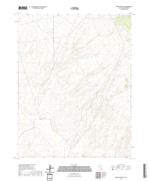
2021 Map of Mount Wilson SW
USGS Topo · Published 2021About this map
Patterson Wash defines the southern drainage of this arid terrain in Lincoln County, where the landscape is marked by intermittent watercourses and high-elevation contours. The map captures a largely undeveloped stretch of Nevada, organized by the Public Land Survey System grids of t3n r67e, t3n r68e, t2n r67e, and t2n r68e. Small seasonal flows such as Hulse Cr and Page Cr trace paths through the north, indicating the delicate hydrological patterns of this high-desert environment. This modern topographic record is valuable for understanding the persistent natural drainage systems and boundary divisions in a region where few permanent structures or roads have altered the land.
Find a feature on this map
7 named features on this map. Tap any name to fly to it.
Don’t see what you’re looking for? This feature index may not catch every label — zoom into the map to look around manually.
Map Details
Editions of this 2021 Mount Wilson SW Map
This is the sole edition of this map. No revisions or reprints were ever made.
Other maps of this area

1885 · Pioche
USGS Topo · 1:250,000

1886 · Pioche
USGS Topo · 1:250,000

1915 · Bristol Range
USGS Topo · 1:62,500

1916 · Highland
USGS Topo · 1:62,500

1917 · Bristol Range
USGS Topo · 1:62,500

1918 · Highland
USGS Topo · 1:62,500

1921 · NW 1/4 Panaca
USGS Topo · 1:48,000

1953 · Highland Peak
USGS Topo · 1:24,000

1953 · Bristol Range SE
USGS Topo · 1:24,000

1953 · Pioche
USGS Topo · 1:24,000