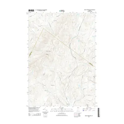
2015 Map of Mount Worcester
USGS Topo · Published 2015About this map
Worcester Mountains dominate this central Vermont landscape, creating a high-relief divide along the Lamoille County and Washington County border. The 2015 survey details a region where steep elevation changes dictate the flow of numerous watercourses, including Moss Glen Brook, which features the notable Moss Glen Falls. The drainages of the North Branch Winooski River and Hancock Brook define the valleys, where human activity is concentrated along the historic Elmore Rd and Montpelier Morrisville St.
Find a feature on this map
51 named features on this map. Tap any name to fly to it.
Don’t see what you’re looking for? This feature index may not catch every label — zoom into the map to look around manually.
Map Details
Editions of this 2015 Mount Worcester Map
This is the sole edition of this map. No revisions or reprints were ever made.
Other maps of this area

1919 · Montpelier
USGS Topo · 1:62,500

1921 · Montpelier
USGS Topo · 1:62,500

1927 · Hyde Park
USGS Topo · 1:48,000

1928 · Hardwick
USGS Topo · 1:62,500

1930 · Hyde Park
USGS Topo · 1:62,500

1934 · Hardwick
USGS Topo · 1:48,000

1938 · Hardwick
USGS Topo · 1:62,500

1939 · Plainfield
USGS Topo · 1:48,000

1940 · Plainfield
USGS Topo · 1:62,500

1943 · Plainfield
USGS Topo · 1:62,500