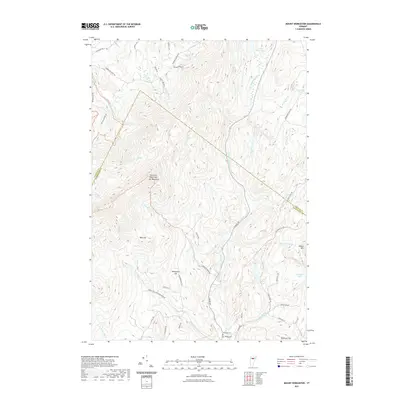
2021 Map of Mount Worcester
USGS Topo · Published 2021About this map
The Mt Worcester ridgeline dominates this Vermont landscape, forming a natural boundary that defines the drainage of the North Branch Winooski River. This 2021 survey details the transition from the high elevations of the Worcester Ridge down to the valley settlements. Local history is anchored by the Mountain Cem and Village Cem at the southern edge of the map, situated near the headwaters of Minister Brook. The terrain is characterized by numerous small ponds and tributaries, including Little Elmore Pond and Russ Pond, which feed the river network. The road system, including Elmore Rd and several family-named routes like Hampshire Hill Rd and Harris Hill Rd, follows the contours of the land, illustrating the persistent influence of topography on local development and land use in this part of Lamoille and Washington Counties.
Find a feature on this map
48 named features on this map. Tap any name to fly to it.
Don’t see what you’re looking for? This feature index may not catch every label — zoom into the map to look around manually.
Map Details
Editions of this 2021 Mount Worcester Map
This is the sole edition of this map. No revisions or reprints were ever made.
Other maps of this area

1919 · Montpelier
USGS Topo · 1:62,500

1921 · Montpelier
USGS Topo · 1:62,500

1927 · Hyde Park
USGS Topo · 1:48,000

1928 · Hardwick
USGS Topo · 1:62,500

1930 · Hyde Park
USGS Topo · 1:62,500

1934 · Hardwick
USGS Topo · 1:48,000

1938 · Hardwick
USGS Topo · 1:62,500

1939 · Plainfield
USGS Topo · 1:48,000

1940 · Plainfield
USGS Topo · 1:62,500

1943 · Plainfield
USGS Topo · 1:62,500