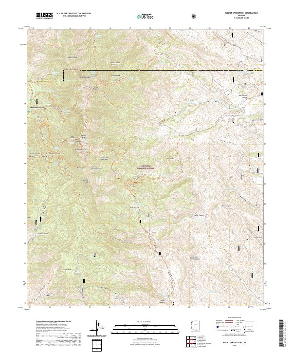
2021 Map of Mount Wrightson
USGS Topo · Published 2021About this map
Mt Wrightson stands as the central landmark of this high-elevation survey, dominating the surrounding Santa Rita Mountains within the Coronado National Forest. This 2021 update documents the modern landscape of the Santa Cruz and Pima county border, focusing on the complex network of ridges and canyons that define the region. High peaks including Florida Peak, McCleary Peak, and Josephine Peak are connected by a dense system of trails, including the Arizona National Scenic Trl and the Florida Canyon Trl.
Find a feature on this map
86 named features on this map. Tap any name to fly to it.
Don’t see what you’re looking for? This feature index may not catch every label — zoom into the map to look around manually.
Map Details
Editions of this 2021 Mount Wrightson Map
This is the sole edition of this map. No revisions or reprints were ever made.
Other maps of this area

1904 · Patagonia
USGS Topo · 1:125,000

1905 · Patagonia
USGS Topo · 1:125,000

1922 · Agus Caliente
USGS Topo · 1:62,500

1926 · Helvetia
USGS Topo · 1:62,500

1932 · Elgin
USGS Topo · 1:62,500

1940 · Elgin
USGS Topo · 1:62,500

1947 · Elgin
USGS Topo · 1:62,500

1948 · Sonoita
USGS Topo · 1:24,000
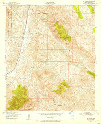
1948 · Mt. Hughes
USGS Topo · 1:24,000

1956 · Nogales
USGS Topo · 1:250,000