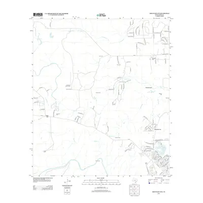
2013 Map of Mountain City
USGS Topo · Published 2013About this map
Mountain City and the expanding residential corridors of the Texas Hill Country define this landscape in the early 21st century. The map reveals a transition from traditional agricultural landholdings to suburban development, as seen in the subdivided plots of Carpenter Hills and the winding street networks near Onion Creek Lodge. Despite this growth, the legacy of large-scale ranching remains prominent through named holdings like the Farris Ranch, Ruby Ranch, and Halifax Ranch. These estates are often centered around the region's complex hydrology, including the winding course of Onion Cr and Halifax Cr.
Find a feature on this map
122 named features on this map. Tap any name to fly to it.
Don’t see what you’re looking for? This feature index may not catch every label — zoom into the map to look around manually.
Map Details
Editions of this 2013 Mountain City Map
This is the sole edition of this map. No revisions or reprints were ever made.
Other maps of this area

1887 · Blanco
USGS Topo · 1:125,000

1894 · Blanco
USGS Topo · 1:125,000

1896 · Austin
USGS Topo · 1:125,000

1897 · Austin
USGS Topo · 1:125,000

1910 · Austin
USGS Topo · 1:125,000

1911 · San Marcos
USGS Topo · 1:125,000

1919 · San Marcos
USGS Topo · 1:125,000

1929 · Hunter
USGS Topo · 1:62,500

1953 · Seguin
USGS Topo · 1:250,000

1954 · Llano
USGS Topo · 1:250,000