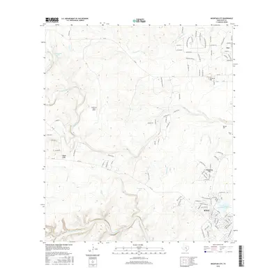
2016 Map of Mountain City
USGS Topo · Published 2016About this map
Mountain City and the expanding residential corridors of northern Kyle anchor this 2016 study of the Texas Hill Country. The landscape is defined by the winding course of Onion Creek, which snakes through the central terrain past Rutherford Ranch Airport and toward the smaller settlement of Hays City. In the northeast, Carpenter Hills overlooks a network of rural routes and evolving subdivisions, while the southern boundary is marked by the wide channel of the Blanco River. Local history is preserved at the Barton Cem near Barton Hill, situated just north of Barber Falls. The map documents a complex hydraulic environment where numerous tributaries like Mustang Br, Halifax Cr, and Plum Cr drain into larger basins, including Lutranger Lake and the Soil Conservation Service Site 1 Reservoir. This detailed survey provides a clear view of the transition from traditional ranch lands to suburban developments along FM 150 and FM 967.
Find a feature on this map
112 named features on this map. Tap any name to fly to it.
Don’t see what you’re looking for? This feature index may not catch every label — zoom into the map to look around manually.
Map Details
Editions of this 2016 Mountain City Map
This is the sole edition of this map. No revisions or reprints were ever made.
Other maps of this area

1887 · Blanco
USGS Topo · 1:125,000

1894 · Blanco
USGS Topo · 1:125,000

1896 · Austin
USGS Topo · 1:125,000

1897 · Austin
USGS Topo · 1:125,000

1910 · Austin
USGS Topo · 1:125,000

1911 · San Marcos
USGS Topo · 1:125,000

1919 · San Marcos
USGS Topo · 1:125,000

1929 · Hunter
USGS Topo · 1:62,500

1953 · Seguin
USGS Topo · 1:250,000

1954 · Llano
USGS Topo · 1:250,000