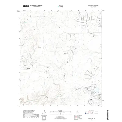
2019 Map of Mountain City
USGS Topo · Published 2019About this map
Mountain City and the expanding northern reaches of Kyle anchor this 2019 study of the Central Texas landscape. The terrain is defined by the winding course of the Blanco River in the south and the intricate drainage networks of Onion Creek and Little Bear Cr further north. These waterways, including the smaller Mustang Br and Plum Cr, have historically dictated the placement of early settlements and transportation routes like FM 967.
Find a feature on this map
110 named features on this map. Tap any name to fly to it.
Don’t see what you’re looking for? This feature index may not catch every label — zoom into the map to look around manually.
Map Details
Editions of this 2019 Mountain City Map
This is the sole edition of this map. No revisions or reprints were ever made.
Other maps of this area

1887 · Blanco
USGS Topo · 1:125,000

1894 · Blanco
USGS Topo · 1:125,000

1896 · Austin
USGS Topo · 1:125,000

1897 · Austin
USGS Topo · 1:125,000

1910 · Austin
USGS Topo · 1:125,000

1911 · San Marcos
USGS Topo · 1:125,000

1919 · San Marcos
USGS Topo · 1:125,000

1929 · Hunter
USGS Topo · 1:62,500

1953 · Seguin
USGS Topo · 1:250,000

1954 · Llano
USGS Topo · 1:250,000