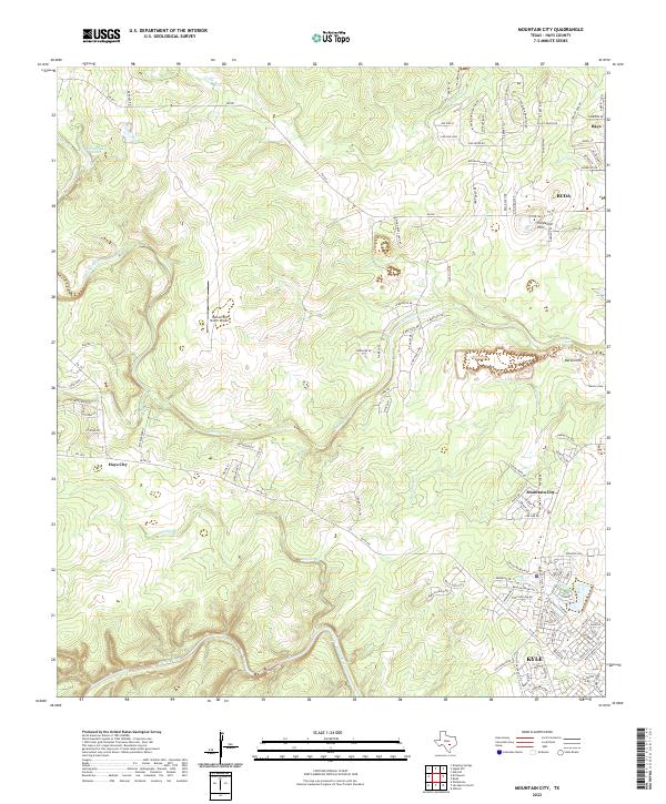
2022 Map of Mountain City
USGS Topo · Published 2022About this map
The Blanco River and its numerous tributaries, including Onion Creek and Mustang Br, carve through this section of the Edwards Plateau just west of the Interstate 35 corridor. This modern survey illustrates the rapid residential growth surrounding established centers like Mountain City, Buda, and Kyle. While the landscape is increasingly defined by suburban street networks and local connector roads such as FM 967, several legacy landmarks remain central to the geography.
Find a feature on this map
115 named features on this map. Tap any name to fly to it.
Don’t see what you’re looking for? This feature index may not catch every label — zoom into the map to look around manually.
Map Details
Editions of this 2022 Mountain City Map
This is the sole edition of this map. No revisions or reprints were ever made.
Other maps of this area

1887 · Blanco
USGS Topo · 1:125,000

1894 · Blanco
USGS Topo · 1:125,000

1896 · Austin
USGS Topo · 1:125,000

1897 · Austin
USGS Topo · 1:125,000

1910 · Austin
USGS Topo · 1:125,000

1911 · San Marcos
USGS Topo · 1:125,000

1919 · San Marcos
USGS Topo · 1:125,000

1929 · Hunter
USGS Topo · 1:62,500

1953 · Seguin
USGS Topo · 1:250,000

1954 · Llano
USGS Topo · 1:250,000