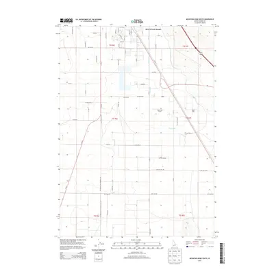
2013 Map of Mountain Home South
USGS Topo · Published 2013About this map
Mountain Home occupies the northern edge of this Idaho landscape, where the high desert transitions into an engineered agricultural corridor. The irrigation infrastructure of the W Side Canal and E Side Canal is central to the area's development, cutting through the geometric grid of section lines and local roads like SW Smith Rd and SW Hamilton Rd. These waterways enabled the cultivation of the surrounding territory, supporting the growth of smaller communities such as Clover Hollow and the vast expanse of Slade Flat to the east.
Find a feature on this map
59 named features on this map. Tap any name to fly to it.
Don’t see what you’re looking for? This feature index may not catch every label — zoom into the map to look around manually.
Map Details
Editions of this 2013 Mountain Home South Map
This is the sole edition of this map. No revisions or reprints were ever made.
Other maps of this area

1892 · Mountain Home
USGS Topo · 1:125,000

1893 · Mountain Home
USGS Topo · 1:125,000

1947 · Bruneau
USGS Topo · 1:62,500

1947 · Indian Cove
USGS Topo · 1:24,000

1947 · Sand Dunes
USGS Topo · 1:24,000

1947 · Bruneau
USGS Topo · 1:24,000

1948 · Sand Dunes
USGS Topo · 1:24,000

1948 · Indian Cove
USGS Topo · 1:24,000
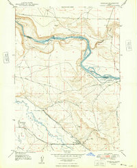
1948 · Bruneau
USGS Topo · 1:24,000

1948 · Indian Cove
USGS Topo · 1:62,500