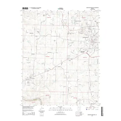
2014 Map of Mountain Home West
USGS Topo · Published 2014About this map
Mountain Home and the neighboring community of Gassville anchor this 2014 survey of the Ozark foothills in Baxter County. The landscape is a transition between the developing urban fringes of the city and the winding rural routes that define the region. Educational and infrastructure hubs are prominent, featuring the campus of Arkansas State University-Mountain Home and the Ozark Regional Airport to the northwest. The terrain is marked by distinctive elevations like Monkey Run Hill and Lonon Knob, while the southern edge is carved by the White River.
Find a feature on this map
59 named features on this map. Tap any name to fly to it.
Don’t see what you’re looking for? This feature index may not catch every label — zoom into the map to look around manually.
Map Details
Editions of this 2014 Mountain Home West Map
This is the sole edition of this map. No revisions or reprints were ever made.
Other maps of this area

1890 · Mountain Home
USGS Topo · 1:125,000

1891 · Mountain Home
USGS Topo · 1:125,000

1893 · Yellville
USGS Topo · 1:125,000

1894 · Mountain Home
USGS Topo · 1:125,000

1903 · Yellville
USGS Topo · 1:125,000

1905 · Yellville
USGS Topo · 1:125,000

1929 · Yellville
USGS Topo · 1:125,000

1945 · Harrison
USGS Topo · 1:250,000

1949 · Harrison
USGS Topo · 1:250,000

1954 · Harrison
USGS Topo · 1:250,000