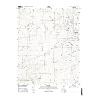
2017 Map of Mountain Home West
USGS Topo · Published 2017About this map
Mountain Home serves as the regional hub in this part of Baxter Co, where the plateau meets the high bluffs overlooking the White River. The landscape is defined by its ridge-and-valley structure, with prominent elevations such as Monkey Run Hill and Hickman Knob rising above the winding courses of Big Cr and Jenkins Cr. Historically significant sites are scattered throughout the countryside, including the rural settlement of Monkey Run and numerous family cemeteries like Baker Cem and Tucker Cem.
Find a feature on this map
214 named features on this map. Tap any name to fly to it.
Don’t see what you’re looking for? This feature index may not catch every label — zoom into the map to look around manually.
Map Details
Editions of this 2017 Mountain Home West Map
This is the sole edition of this map. No revisions or reprints were ever made.
Other maps of this area

1890 · Mountain Home
USGS Topo · 1:125,000

1891 · Mountain Home
USGS Topo · 1:125,000

1893 · Yellville
USGS Topo · 1:125,000

1894 · Mountain Home
USGS Topo · 1:125,000

1903 · Yellville
USGS Topo · 1:125,000

1905 · Yellville
USGS Topo · 1:125,000

1929 · Yellville
USGS Topo · 1:125,000

1945 · Harrison
USGS Topo · 1:250,000

1949 · Harrison
USGS Topo · 1:250,000

1954 · Harrison
USGS Topo · 1:250,000