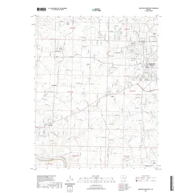
2020 Map of Mountain Home West
USGS Topo · Published 2020About this map
Mountain Home and the adjacent city of Gassville anchor this 2020 map of north-central Arkansas. The landscape is defined by the Ozark Plateau terrain, where the northern bend of the White River meets a network of small creeks like Bruce Cr and Jenkins Cr. The area exhibits a mix of academic and civic centers, including the campus of Arkansas State University - Mountain Home and the Baxter County Courthouse.
Find a feature on this map
73 named features on this map. Tap any name to fly to it.
Don’t see what you’re looking for? This feature index may not catch every label — zoom into the map to look around manually.
Map Details
Editions of this 2020 Mountain Home West Map
This is the sole edition of this map. No revisions or reprints were ever made.
Other maps of this area

1890 · Mountain Home
USGS Topo · 1:125,000

1891 · Mountain Home
USGS Topo · 1:125,000

1893 · Yellville
USGS Topo · 1:125,000

1894 · Mountain Home
USGS Topo · 1:125,000

1903 · Yellville
USGS Topo · 1:125,000

1905 · Yellville
USGS Topo · 1:125,000

1929 · Yellville
USGS Topo · 1:125,000

1945 · Harrison
USGS Topo · 1:250,000

1949 · Harrison
USGS Topo · 1:250,000

1954 · Harrison
USGS Topo · 1:250,000