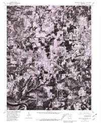
1979 Map of Mountain Home West
USGS Topo · Published 1981About this map
Mountain Home and the surrounding Baxter County countryside are captured here in late 1979 through rectified photoimagery, revealing a landscape of cleared fields and dense woodlands before modern suburban expansion. The orthophoto format provides a clear view of the rural-to-urban transition between Gassville and the western edge of the county seat, where the road network connects smaller hubs like Monkey Run and Colfax. In the southern portion of the sheet, the winding course of the White River carves through the Ozark terrain, showing the river's natural state and the agricultural plots that line its banks. This specific survey is an important bridge for local historians, as it overlays land lines from a 1966 topographic study onto aerial photography, highlighting how property boundaries and roads aligned with the physical landscape at the end of the 1970s.
Find a feature on this map
5 named features on this map. Tap any name to fly to it.
Don’t see what you’re looking for? This feature index may not catch every label — zoom into the map to look around manually.
Map Details
Editions of this 1979 Mountain Home West Map
This is the sole edition of this map. No revisions or reprints were ever made.
Other maps of this area

1890 · Mountain Home
USGS Topo · 1:125,000

1891 · Mountain Home
USGS Topo · 1:125,000

1893 · Yellville
USGS Topo · 1:125,000

1894 · Mountain Home
USGS Topo · 1:125,000

1903 · Yellville
USGS Topo · 1:125,000

1905 · Yellville
USGS Topo · 1:125,000

1929 · Yellville
USGS Topo · 1:125,000

1945 · Harrison
USGS Topo · 1:250,000

1949 · Harrison
USGS Topo · 1:250,000

1954 · Harrison
USGS Topo · 1:250,000