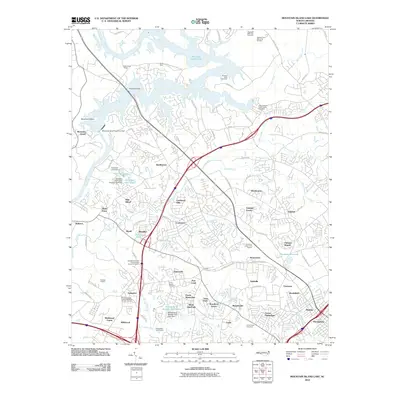
2010 Map of Mountain Island Lake
USGS Topo · Published 2010About this map
Mountain Island Lake and the Catawba River define the northwestern geography of this suburban Charlotte landscape. Significant historical data is preserved through the mapping of small family and community burial grounds, most notably the George Elliott Family Slave Cemetery near Gar Creek and the Hopewell AME Zion Cemetery. These sites, along with the Beatties Ford Memorial Gardens, provide critical touchpoints for genealogical research in Mecklenburg County.
Find a feature on this map
103 named features on this map. Tap any name to fly to it.
Don’t see what you’re looking for? This feature index may not catch every label — zoom into the map to look around manually.
Map Details
Editions of this 2010 Mountain Island Lake Map
This is the sole edition of this map. No revisions or reprints were ever made.
Other maps of this area

1905 · Charlotte
USGS Topo · 1:48,000

1907 · Charlotte
USGS Topo · 1:62,500

1914 · Gastonia
USGS Topo · 1:48,000

1916 · Gastonia
USGS Topo · 1:62,500

1941 · Charlotte
USGS Topo · 1:125,000

1942 · Charlotte
USGS Topo · 1:125,000

1947 · Clover
USGS Topo · 1:62,500

1948 · Paw Creek
USGS Topo · 1:24,000

1948 · Derita
USGS Topo · 1:24,000

1948 · Charlotte East
USGS Topo · 1:24,000