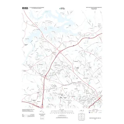
2013 Map of Mountain Island Lake
USGS Topo · Published 2013About this map
Mountain Island Lake and the Catawba River define the northern geography of this region, where the reservoir shoreline meets a dense network of suburban development northwest of Charlotte. The map reveals the intricate residential expansion into historical areas like Shuffletown, Coulwood, and Westbourne. This 2013 survey illustrates the modern footprint of infrastructure supporting the greater Charlotte area, including the Charlotte Reservoir and the Duke Power Village near the river bend.
Find a feature on this map
371 named features on this map. Tap any name to fly to it.
Don’t see what you’re looking for? This feature index may not catch every label — zoom into the map to look around manually.
Map Details
Editions of this 2013 Mountain Island Lake Map
This is the sole edition of this map. No revisions or reprints were ever made.
Other maps of this area

1905 · Charlotte
USGS Topo · 1:48,000

1907 · Charlotte
USGS Topo · 1:62,500

1914 · Gastonia
USGS Topo · 1:48,000

1916 · Gastonia
USGS Topo · 1:62,500

1941 · Charlotte
USGS Topo · 1:125,000

1942 · Charlotte
USGS Topo · 1:125,000

1947 · Clover
USGS Topo · 1:62,500

1948 · Paw Creek
USGS Topo · 1:24,000

1948 · Derita
USGS Topo · 1:24,000

1948 · Charlotte East
USGS Topo · 1:24,000