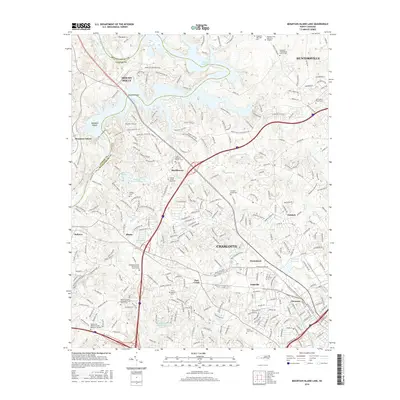
2016 Map of Mountain Island Lake
USGS Topo · Published 2016About this map
Mountain Island Lake and the Catawba River define the boundary between Gaston and Mecklenburg counties, creating a landscape where suburban expansion meets legacy rural landmarks. The area surrounding Charlotte is marked by numerous historic congregational sites and burial grounds, such as the Hopewell Presbyterian Church Cem and the Saint Marks Church Cem. These features, along with the Lawing School Road Cem, provide significant anchor points for genealogical research in an area that has transitioned from agrarian roots to modern residential hubs like Huntersville and Mount Holly.
Find a feature on this map
291 named features on this map. Tap any name to fly to it.
Don’t see what you’re looking for? This feature index may not catch every label — zoom into the map to look around manually.
Map Details
Editions of this 2016 Mountain Island Lake Map
This is the sole edition of this map. No revisions or reprints were ever made.
Other maps of this area

1905 · Charlotte
USGS Topo · 1:48,000

1907 · Charlotte
USGS Topo · 1:62,500

1914 · Gastonia
USGS Topo · 1:48,000

1916 · Gastonia
USGS Topo · 1:62,500

1941 · Charlotte
USGS Topo · 1:125,000

1942 · Charlotte
USGS Topo · 1:125,000

1947 · Clover
USGS Topo · 1:62,500

1948 · Paw Creek
USGS Topo · 1:24,000

1948 · Derita
USGS Topo · 1:24,000

1948 · Charlotte East
USGS Topo · 1:24,000