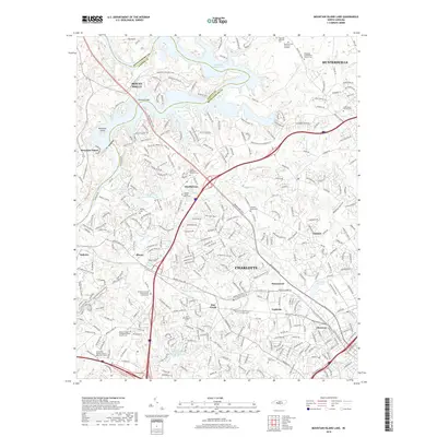
2019 Map of Mountain Island Lake
USGS Topo · Published 2019About this map
Mountain Island Lake and the Catawba River define the boundary between Mecklenburg and Gaston Counties, anchoring a landscape where historic rural outposts meet the expanding suburbs of Charlotte. The area is notably dense with genealogical landmarks, including the Hopewell Presbyterian Church Cem and the Cooks Memorial Church Cem, reflecting the deep-rooted community history of settlements like Shuffletown and Paw Creek.
Find a feature on this map
326 named features on this map. Tap any name to fly to it.
Don’t see what you’re looking for? This feature index may not catch every label — zoom into the map to look around manually.
Map Details
Editions of this 2019 Mountain Island Lake Map
This is the sole edition of this map. No revisions or reprints were ever made.
Other maps of this area

1905 · Charlotte
USGS Topo · 1:48,000

1907 · Charlotte
USGS Topo · 1:62,500

1914 · Gastonia
USGS Topo · 1:48,000

1916 · Gastonia
USGS Topo · 1:62,500

1941 · Charlotte
USGS Topo · 1:125,000

1942 · Charlotte
USGS Topo · 1:125,000

1947 · Clover
USGS Topo · 1:62,500

1948 · Paw Creek
USGS Topo · 1:24,000

1948 · Derita
USGS Topo · 1:24,000

1948 · Charlotte East
USGS Topo · 1:24,000