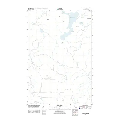
2011 Map of Mountain Lake
USGS Topo · Published 2011About this map
Mountain Lake and its distinctive Lumberman Bay anchor this portrait of the Huron Mountains in Baraga County, as documented in 2011. The landscape is defined by a dense network of water features and high points, including Mount Ida, Mount Benison, and Mummy Mountain. Numerous cascades mark the sharp elevation changes of the region, such as Forty Foot Falls along the Cliff River and Turkey Neck Falls on Cedar Creek. To the south, the terrain levels slightly near the West Branch Salmon Trout River, where Champion Cemetery serves as a significant local landmark for genealogists. The map details a remote road system including Northwestern Rd and Triple A Rd, providing a clear record of the access points to the interior's peaks and waterways like Canyon Lake and Piers Gorge Falls.
Find a feature on this map
33 named features on this map. Tap any name to fly to it.
Don’t see what you’re looking for? This feature index may not catch every label — zoom into the map to look around manually.
Map Details
Editions of this 2011 Mountain Lake Map
This is the sole edition of this map. No revisions or reprints were ever made.
Other maps of this area

1954 · Huron Mountain
USGS Topo · 1:62,500

1954 · Skanee
USGS Topo · 1:62,500

1955 · Champion
USGS Topo · 1:62,500

1956 · Michigamme
USGS Topo · 1:62,500

1958 · Marquette
USGS Topo · 1:250,000

1958 · Iron River
USGS Topo · 1:250,000

1960 · Iron River
USGS Topo · 1:250,000

1960 · Marquette
USGS Topo · 1:250,000

1961 · Marquette
USGS Topo · 1:250,000

1961 · Iron River
USGS Topo · 1:250,000