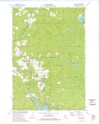
1973 Map of Mountain
USGS Topo · Published 1977About this map
The settlement of Mountain serves as the hub of this 1970s survey, situated where the Chicago and North Western Railway crosses the Oconto River. This northern Wisconsin landscape is heavily defined by the Nicolet National Forest and an intricate network of waterways, including the broad Chute Pond and the Waupee Flowage. The map reveals a region built on timber and recreation, evidenced by the numerous camps and the Mountain Lookout Tower perched overlooking the river valley.
Find a feature on this map
51 named features on this map. Tap any name to fly to it.
Don’t see what you’re looking for? This feature index may not catch every label — zoom into the map to look around manually.
Map Details
Editions of this 1973 Mountain Map
3 editions found
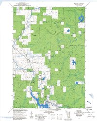
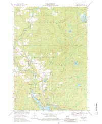
Other maps of this area

1940 · Thunder Mtn.
USGS Topo · 1:48,000

1942 · Breed
USGS Topo · 1:48,000

1942 · Wabeno
USGS Topo · 1:48,000

1950 · Wabeno
USGS Topo · 1:48,000

1951 · Wabeno
USGS Topo · 1:48,000

1951 · Thunder Mountain
USGS Topo · 1:48,000

1952 · Langlade
USGS Topo · 1:48,000

1952 · Mountain
USGS Topo · 1:48,000

1954 · Iron Mountain
USGS Topo · 1:250,000

1959 · Iron Mountain
USGS Topo · 1:250,000