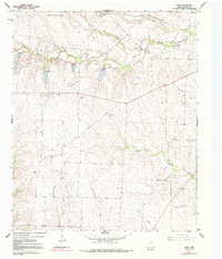
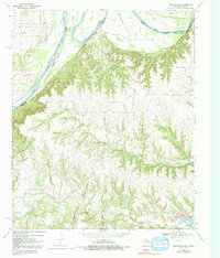
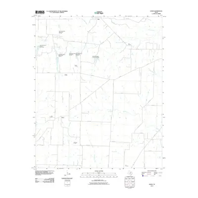
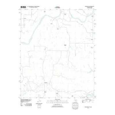
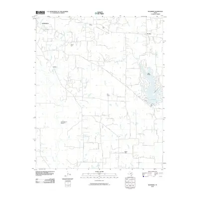
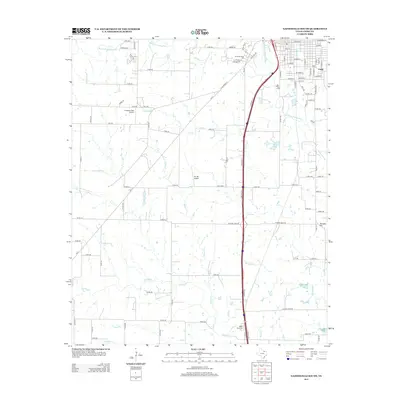
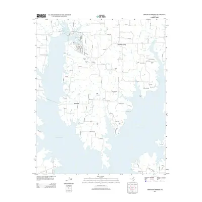
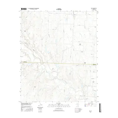
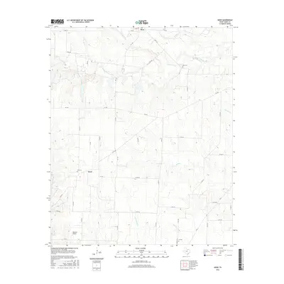
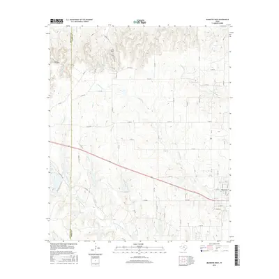
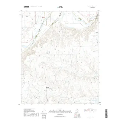
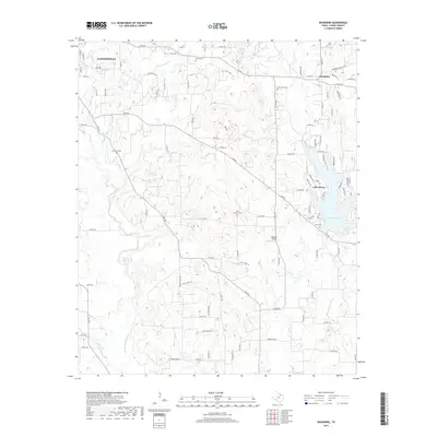
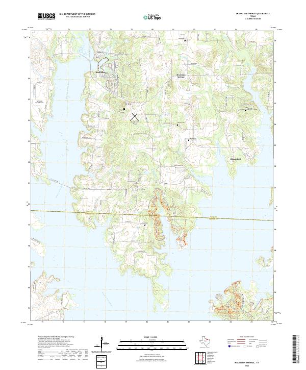
1961 Map of Mountain Springs
USGS Topo · Published 1978About this map
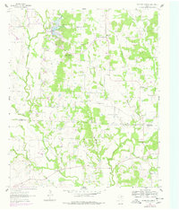
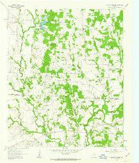
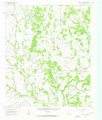
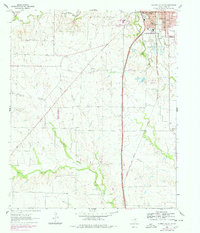
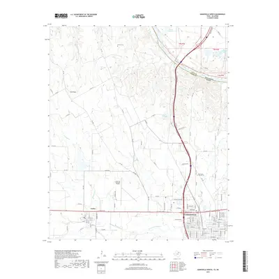
The Elm Fork Trinity River winds through this landscape on the Cooke Co Denton Co border, illustrating the transition from agricultural bottomlands to upland oil exploration. By the early 1960s, rural life centered around community clusters like Mountain Springs and Bloomfield, where local identity was anchored by the Bloomfield Cem and Mt Pleasant Ch. This survey captures the encroachment of the Jacobs Oil Field into the southern reaches of the quadrangle, with numerous Oil Wells peppered across the terrain alongside multiple Gravel Pits.
Find a feature on this map
27 named features on this map. Tap any name to fly to it.
Don’t see what you’re looking for? This feature index may not catch every label — zoom into the map to look around manually.
Map Details
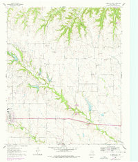
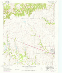
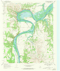
Editions of this 1961 Mountain Springs Map
Historical Maps of Mountain Springs Through Time
67 maps found
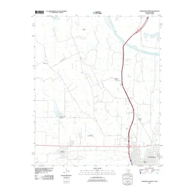
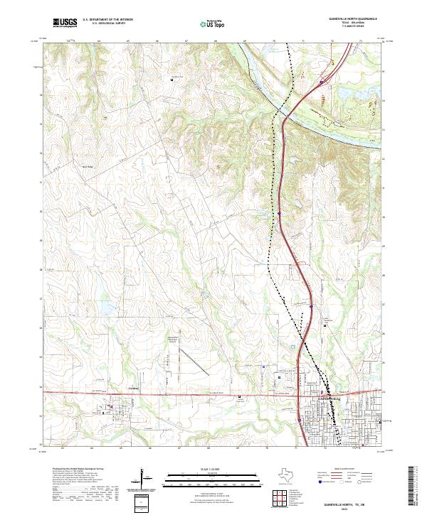
1960 Gainesville North
Cooke County, TX
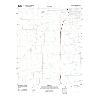
1960 Gainesville South
Cooke County, TX
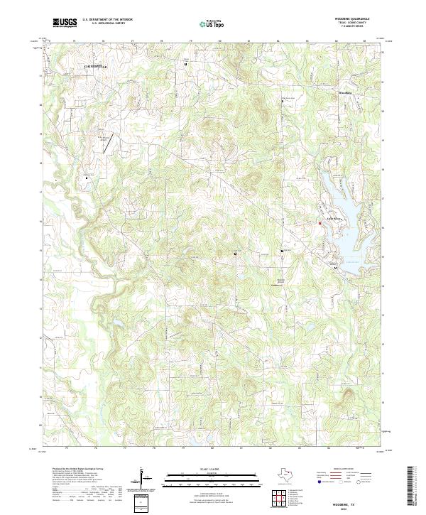
1960 Woodbine
Cooke County, TX
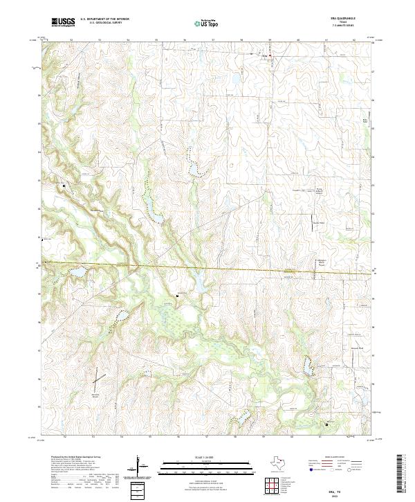
1961 Era
Cooke County, TX
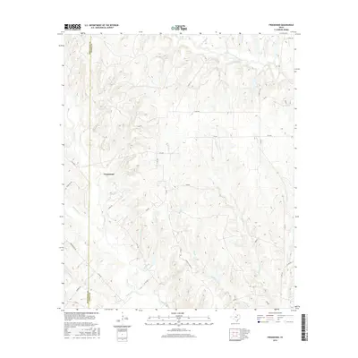
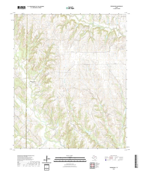
1961 Freemound
Cooke County, TX
1961 Hood
Cooke County, TX
1961 Mountain Springs
Cooke County, TX
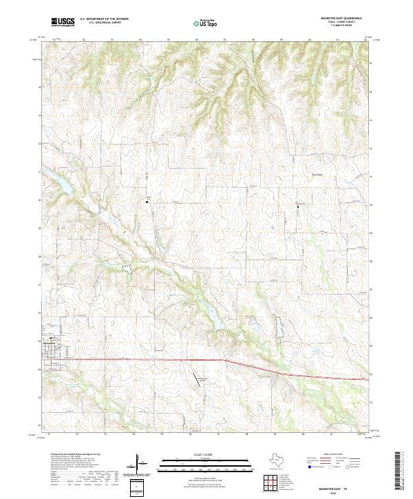
1961 Muenster East
Cooke County, TX
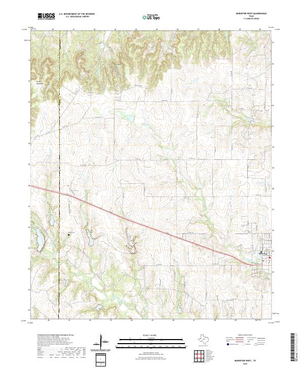
1961 Muenster West
Cooke County, TX
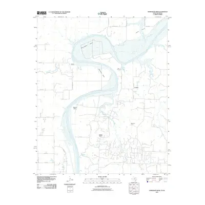
1968 Horseshoe Bend
Cooke County, TX
1968 Marysville
Cooke County, TX
1976 Gordonville NW
Cooke County, TX
2010 Era
Cooke County, TX
2010 Freemound
Cooke County, TX
2010 Gainesville North
Cooke County, TX
2010 Gainesville South
Cooke County, TX
2010 Hood
Cooke County, TX
2010 Horseshoe Bend
Cooke County, TX
2010 Marysville
Cooke County, TX
2010 Mountain Springs
Cooke County, TX
2010 Muenster East
Cooke County, TX
2010 Muenster West
Cooke County, TX
2010 Woodbine
Cooke County, TX
2013 Era
Cooke County, TX
2013 Freemound
Cooke County, TX
2013 Gainesville North
Cooke County, TX
2013 Gainesville South
Cooke County, TX
2013 Hood
Cooke County, TX
2013 Horseshoe Bend
Cooke County, TX
2013 Marysville
Cooke County, TX
2013 Mountain Springs
Cooke County, TX
2013 Muenster East
Cooke County, TX
2013 Muenster West
Cooke County, TX
2013 Woodbine
Cooke County, TX
2016 Era
Cooke County, TX
2016 Freemound
Cooke County, TX
2016 Gainesville North
Cooke County, TX
2016 Gainesville South
Cooke County, TX
2016 Hood
Cooke County, TX

2016 Horseshoe Bend
Cooke County, TX
2016 Marysville
Cooke County, TX
2016 Mountain Springs
Cooke County, TX
2016 Muenster East
Cooke County, TX
2016 Muenster West
Cooke County, TX
2016 Woodbine
Cooke County, TX
2019 Era
Cooke County, TX
2019 Freemound
Cooke County, TX
2019 Gainesville North
Cooke County, TX
2019 Gainesville South
Cooke County, TX
2019 Hood
Cooke County, TX
2019 Horseshoe Bend
Cooke County, TX
2019 Marysville
Cooke County, TX
2019 Mountain Springs
Cooke County, TX
2019 Muenster East
Cooke County, TX
2019 Muenster West
Cooke County, TX
2019 Woodbine
Cooke County, TX
2022 Era
Cooke County, TX
2022 Freemound
Cooke County, TX
2022 Gainesville North
Cooke County, TX
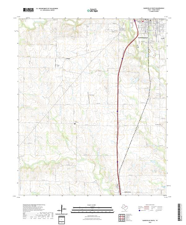
2022 Gainesville South
Cooke County, TX
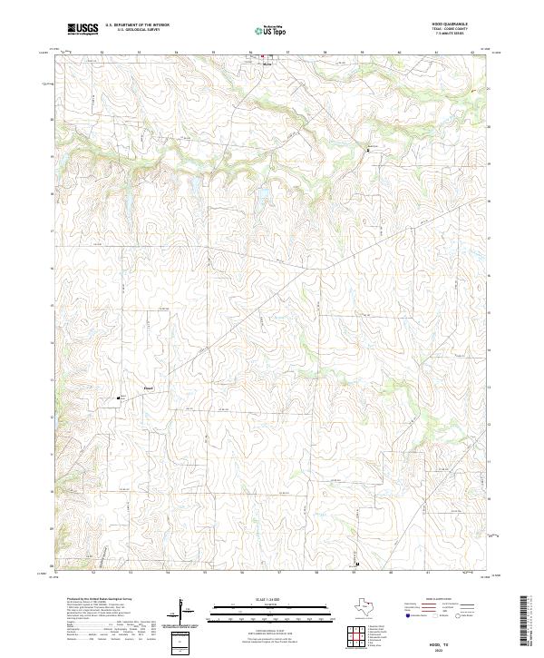
2022 Hood
Cooke County, TX
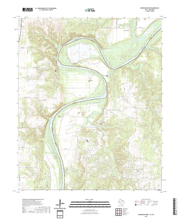
2022 Horseshoe Bend
Cooke County, TX
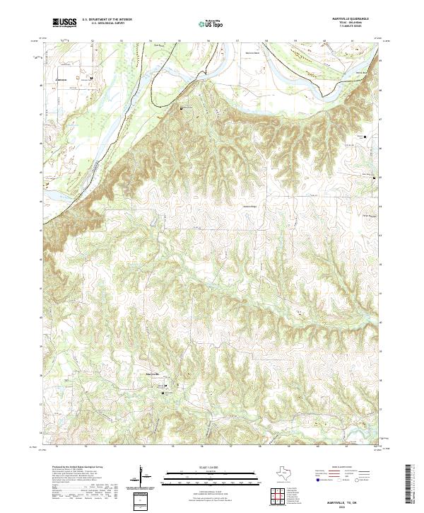
2022 Marysville
Cooke County, TX
2022 Mountain Springs
Cooke County, TX
2022 Muenster East
Cooke County, TX
2022 Muenster West
Cooke County, TX
2022 Woodbine
Cooke County, TX