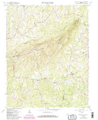
1965 Map of Mountain Valley
USGS Topo · Published 1984About this map
Turkeycock Mountain dominates this landscape, serving as a natural divider where the borders of Franklin, Henry, and Pittsylvania counties converge. In the mid-1960s, the area featured a mix of small rural hubs and agricultural terrain, with commerce centered at Parkers Store and Giles Store. The drainage patterns are intricate, with Snow Creek and Leatherwood Creek defining the western reaches, while the Turkeycock Mountain Wildlife Management Area occupies the central ridgeline. The map provides a detailed look at rural community life through its numerous religious and social landmarks, including Boones Chapel, Mountain Valley Ch, and Mt Parris Ch. Industry is represented by historic sites like Swansons Mill and Hodges Mill, alongside the Turkeycock Lookout Tower overlooking the forested gaps and peaks like Hickory Knob.
Find a feature on this map
51 named features on this map. Tap any name to fly to it.
Don’t see what you’re looking for? This feature index may not catch every label — zoom into the map to look around manually.
Map Details
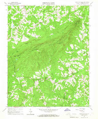
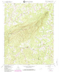
Editions of this 1965 Mountain Valley Map
3 editions found
Other maps of this area

1922 · Callands
USGS Topo · 1:48,000

1924 · Martinsville
USGS Topo · 1:48,000

1924 · Draper
USGS Topo · 1:48,000

1924 · Callands
USGS Topo · 1:62,500

1925 · Rocky Mount
USGS Topo · 1:48,000

1926 · Martinsville
USGS Topo · 1:62,500

1926 · Draper
USGS Topo · 1:62,500

1927 · Rocky Mount
USGS Topo · 1:62,500

1927 · Martinsville
USGS Topo · 1:62,500

1944 · Martinsville
USGS Topo · 1:62,500