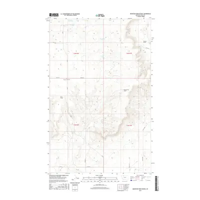
2017 Map of Mountain View School
USGS Topo · Published 2017About this map
Mountain View School stands as a central landmark in this portion of Toole County, where the high plains are carved by significant drainage features such as Sunburst Coulee and Rocky Springs Coulee. The landscape is defined by its intermittent hydrology and a grid of rural roads that reflect the area's agricultural and ranching layout. Clusters of small water bodies like Benton Trail Lakes, Foxtail Lakes, and Frenchman Lake dot the northern sections, while Cowboys Lake sits central to the township lines. The road network, including Rim Rd, Enneberg Rd, and Maggie Ward, provides a glimpse into the naming conventions of local families and geographic markers. This survey offers a detailed view of the terrain and property boundaries within the T36N and T35N ranges during the early 21st century.
Find a feature on this map
22 named features on this map. Tap any name to fly to it.
Don’t see what you’re looking for? This feature index may not catch every label — zoom into the map to look around manually.
Map Details
Editions of this 2017 Mountain View School Map
This is the sole edition of this map. No revisions or reprints were ever made.
Other maps of this area

1909 · Cut Bank
USGS Topo · 1:125,000

1912 · Cut Bank
USGS Topo · 1:125,000

1939 · Sunburst
USGS Topo · 1:62,500

1943 · Shelby
USGS Topo · 1:62,500

1954 · Shelby
USGS Topo · 1:250,000

1958 · Shelby
USGS Topo · 1:250,000

1960 · Cut Bank
USGS Topo · 1:250,000

1963 · Cut Bank
USGS Topo · 1:250,000

1964 · Cut Bank
USGS Topo · 1:250,000

1966 · Ethridge NW
USGS Topo · 1:24,000