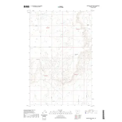
2020 Map of Mountain View School
USGS Topo · Published 2020About this map
The Toole County high plains north of the Sweetgrass Hills are defined by a network of drainage coulees and ephemeral water bodies. Local topography is carved by Sunburst Coulee and Rocky Springs Coulee, features that likely dictated early travel and grazing routes in this section of Northern Montana. The presence of named water features like Benton Trail Lakes and Frenchman Lake suggests their importance for livestock or seasonal migration in an otherwise arid environment.
Find a feature on this map
21 named features on this map. Tap any name to fly to it.
Don’t see what you’re looking for? This feature index may not catch every label — zoom into the map to look around manually.
Map Details
Editions of this 2020 Mountain View School Map
This is the sole edition of this map. No revisions or reprints were ever made.
Other maps of this area

1909 · Cut Bank
USGS Topo · 1:125,000

1912 · Cut Bank
USGS Topo · 1:125,000

1939 · Sunburst
USGS Topo · 1:62,500

1943 · Shelby
USGS Topo · 1:62,500

1954 · Shelby
USGS Topo · 1:250,000

1958 · Shelby
USGS Topo · 1:250,000

1960 · Cut Bank
USGS Topo · 1:250,000

1963 · Cut Bank
USGS Topo · 1:250,000

1964 · Cut Bank
USGS Topo · 1:250,000

1966 · Ethridge NW
USGS Topo · 1:24,000