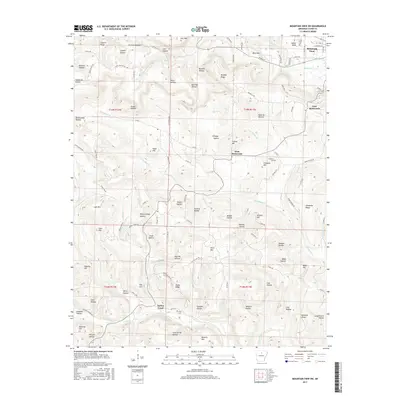
2017 Map of Mountain View SW
USGS Topo · Published 2017About this map
Mountain View anchors the northeastern corner of this Stone County landscape, where the town's residential streets transition into a complex network of hollows and ridges. The terrain is defined by dramatic elevation changes, evidenced by landmarks like Blue Mtn and Indian Knob that overlook a labyrinth of drainage systems including Tomahawk Cr and Turkey Creek. Smaller settlements such as West Richwoods and East Richwoods follow the contours of the land, connected by winding rural routes like Hub Willis Rd. Local history is preserved in small communal spaces such as Fredonia Cem and Finch Cem, often situated near prominent slopes like Fredonia Hill. The map reveals an intricate pattern of named hollows—including Brown Camp Hollow and Pelahan Hollow—which likely served as the primary sites for homesteads and family farms in this corner of the Ozark foothills.
Find a feature on this map
107 named features on this map. Tap any name to fly to it.
Don’t see what you’re looking for? This feature index may not catch every label — zoom into the map to look around manually.
Map Details
Editions of this 2017 Mountain View SW Map
This is the sole edition of this map. No revisions or reprints were ever made.
Other maps of this area

1892 · Mountain View
USGS Topo · 1:125,000

1894 · Mountain View
USGS Topo · 1:125,000

1956 · Russellville
USGS Topo · 1:250,000

1964 · Russellville
USGS Topo · 1:250,000
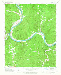
1964 · Sylamore
USGS Topo · 1:24,000

1969 · Mountain View SW
USGS Topo · 1:24,000
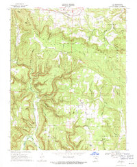
1969 · Fox
USGS Topo · 1:24,000
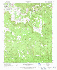
1969 · Mountain View
USGS Topo · 1:24,000
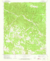
1972 · Onia
USGS Topo · 1:24,000
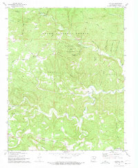
1972 · Fiftysix
USGS Topo · 1:24,000