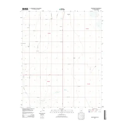
2013 Map of Mountainair NE
USGS Topo · Published 2013About this map
Estancia Spring and the nearby Estancia Cem sit at the northern edge of this high desert landscape, marking a transition between the established town and the rural expanses of the Estancia Valley. The terrain is defined by drainage patterns like Torreon Draw and the winding Arroyo de Manzano in the south, which shape the movement of water across the arid plains. Ranching operations are central to the area's layout, with Spruill Ranch and Moe Ranch anchored by essential landmarks such as the Berkshire Windmill. The map reveals a systematic grid of county roads, including NM-41 and NM-542, that provide access to scattered homesteads and local infrastructure, reflecting the modern organization of this agricultural and pastoral region in Torrance County.
Find a feature on this map
33 named features on this map. Tap any name to fly to it.
Don’t see what you’re looking for? This feature index may not catch every label — zoom into the map to look around manually.
Map Details
Editions of this 2013 Mountainair NE Map
This is the sole edition of this map. No revisions or reprints were ever made.
Other maps of this area

1917 · Estancia
USGS Topo · 1:125,000

1954 · Milbourn Ranch
USGS Topo · 1:24,000

1954 · Fort Sumner
USGS Topo · 1:250,000

1954 · Socorro
USGS Topo · 1:250,000

1956 · Estancia
USGS Topo · 1:62,500

1956 · Mountainair
USGS Topo · 1:62,500

1958 · Socorro
USGS Topo · 1:250,000

1958 · Fort Sumner
USGS Topo · 1:250,000

1960 · Lobo Hill
USGS Topo · 1:62,500

1962 · Socorro
USGS Topo · 1:250,000