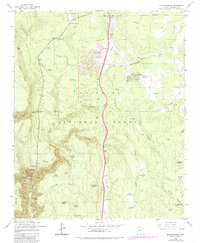
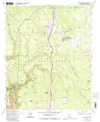
1962 Map of Mountainaire
USGS Topo · Published 1983About this map
Coconino National Forest dominates this high-country landscape, where complex drainage patterns and scattered water resources define the human footprint. The settlement of Mountainaire sits near the head of Schoolhouse Draw, its development shaped by proximity to the Mountainaire Road. The area's industrial past is visible through the Old Railroad Grade and an Industrial Railroad that once traversed the timberlands, while the legacy of logging is marked by sites like Log Landing.
Find a feature on this map
73 named features on this map. Tap any name to fly to it.
Don’t see what you’re looking for? This feature index may not catch every label — zoom into the map to look around manually.
Map Details
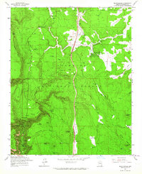
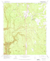
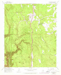
Editions of this 1962 Mountainaire Map
5 editions found
Other maps of this area

1886 · San Francisco Mtns
USGS Topo · 1:250,000

1887 · Verde
USGS Topo · 1:250,000

1891 · San Francisco Mtns
USGS Topo · 1:250,000

1892 · Verde
USGS Topo · 1:250,000

1894 · San Francisco Mtns
USGS Topo · 1:250,000

1899 · San Francisco Mtns
USGS Topo · 1:250,000

1908 · Flagstaff
USGS Topo · 1:125,000

1912 · Flagstaff
USGS Topo · 1:125,000

1923 · Camp Verde
USGS Topo · 1:125,000

1932 · Camp Verde
USGS Topo · 1:125,000