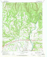
1969 Map of Mountainburg SE
USGS Topo · Published 1971About this map
The Mulberry River winds through the hills of the Ozark National Forest and down toward the valley as it appeared in the late 1960s. This survey records a transitional period for the area, showing Interstate 40 under construction as it cuts across the southern landscape between Mulberry and Piney. The development of this major thoroughfare stands in contrast to the rural character of the northern uplands, which are dotted with family landmarks like Maxey Mountain and Fisher Mountain.
Find a feature on this map
46 named features on this map. Tap any name to fly to it.
Don’t see what you’re looking for? This feature index may not catch every label — zoom into the map to look around manually.
Map Details
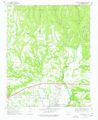
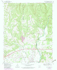
Editions of this 1969 Mountainburg SE Map
Other maps of this area

1879 · Cravens
USGS Topo · 1:62,500

1887 · Magazine Mountain #2
USGS Topo · 1:62,500

1887 · Watalula
USGS Topo · 1:62,500

1887 · Magazine Mountain
USGS Topo · 1:62,500

1890 · Magazine Mountain
USGS Topo · 1:125,000

1890 · Fort Smith
USGS Topo · 1:125,000

1898 · Winslow #4
USGS Topo · 1:62,500

1898 · Winslow
USGS Topo · 1:125,000

1901 · Winslow
USGS Topo · 1:125,000

1906 · Lavaca
USGS Topo · 1:62,500