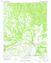
1969 Map of Mountainburg SE
USGS Topo · Published 1978About this map
Ozark National Forest covers the northern reaches of this Crawford and Franklin County landscape, where the rugged topography gives way to the open Vine Prairie further south. The Mulberry River winds through the eastern terrain, joined by tributaries like Little Mulberry Creek and Rock Creek. This 1960s survey captures the region just as Interstate 40 was under construction, a major infrastructure shift that began to bypass the older overland routes connecting the town of Mulberry to the outlying community of Pleasant Hill. Genealogists will find a high density of rural burial grounds, including the Pope Cem, Concord Cem, and the uniquely named Marvin Sch Cem near the Marvin Sch. From the remote elevations of Maxey Mountain and Boyd Mountain to the localized industries represented by a prominent Quarry, the map documents a transition from deep forest to established agricultural and riverfront settlements.
Find a feature on this map
43 named features on this map. Tap any name to fly to it.
Don’t see what you’re looking for? This feature index may not catch every label — zoom into the map to look around manually.
Map Details
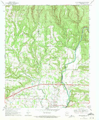
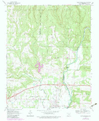
Editions of this 1969 Mountainburg SE Map
Other maps of this area

1879 · Cravens
USGS Topo · 1:62,500

1887 · Magazine Mountain #2
USGS Topo · 1:62,500

1887 · Watalula
USGS Topo · 1:62,500

1887 · Magazine Mountain
USGS Topo · 1:62,500

1890 · Magazine Mountain
USGS Topo · 1:125,000

1890 · Fort Smith
USGS Topo · 1:125,000

1898 · Winslow #4
USGS Topo · 1:62,500

1898 · Winslow
USGS Topo · 1:125,000

1901 · Winslow
USGS Topo · 1:125,000

1906 · Lavaca
USGS Topo · 1:62,500