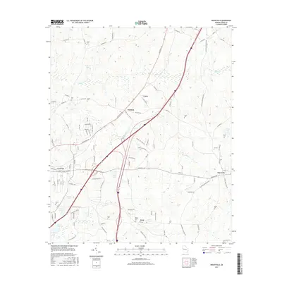
2017 Map of Mountville
USGS Topo · Published 2017About this map
The community of Mountville serves as a primary anchor in this Troup County landscape, situated where Greenville Rd meets Chipley Mountville Rd. The area is characterized by a network of creeks, including Shoal Cr and Long Cane Cr, which weave through a terrain dotted with numerous family and community burial grounds such as Shiloh Cem, Heard Cem, and the Traylor Johnson Cem. These sites, along with the small settlements of Louise and Whitfield, provide essential markers for genealogical research in this part of Georgia.
Find a feature on this map
110 named features on this map. Tap any name to fly to it.
Don’t see what you’re looking for? This feature index may not catch every label — zoom into the map to look around manually.
Map Details
Editions of this 2017 Mountville Map
This is the sole edition of this map. No revisions or reprints were ever made.
Other maps of this area

1899 · Wedowee
USGS Topo · 1:125,000

1902 · Wedowee
USGS Topo · 1:125,000

1907 · Talbotton
USGS Topo · 1:125,000

1907 · Opelika
USGS Topo · 1:125,000

1909 · Opelika
USGS Topo · 1:125,000

1953 · Atlanta
USGS Topo · 1:250,000

1955 · Phenix City
USGS Topo · 1:250,000

1957 · Phenix City
USGS Topo · 1:250,000

1957 · Atlanta
USGS Topo · 1:250,000

1958 · Phenix City
USGS Topo · 1:250,000