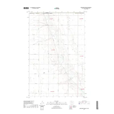
2017 Map of Mouse River Park NW
USGS Topo · Published 2017About this map
The Souris River meanders through this portion of Renville County, creating a distinct topographical corridor as it flows south of the International Boundary. This rural landscape is defined by the section-line road grid that characterizes the North Dakota plains, with local access provided by routes such as Co Rd 2 and Valley Rd. A significant site for local family history is the Pleasant View Cem, situated on a plateau overlooking the river valley. The map details the intricate coulees and drainage patterns that feed into the Souris, illustrating how the water has carved into the surrounding prairie over time. Surveyed by the U.S. Geological Survey, this sheet documents a sparsely populated but geographically complex agricultural region in the northernmost reaches of the state.
Find a feature on this map
27 named features on this map. Tap any name to fly to it.
Don’t see what you’re looking for? This feature index may not catch every label — zoom into the map to look around manually.
Map Details
Editions of this 2017 Mouse River Park NW Map
This is the sole edition of this map. No revisions or reprints were ever made.
Other maps of this area

1948 · Mouse River Park NW
USGS Topo · 1:24,000

1949 · Mouse River Park NW
USGS Topo · 1:24,000

1949 · Bowbells SE
USGS Topo · 1:24,000

1949 · Bowbells NE
USGS Topo · 1:24,000

1949 · Mouse River Park NE
USGS Topo · 1:24,000

1949 · Mouse River Park SW
USGS Topo · 1:24,000

1949 · Mouse River Park
USGS Topo · 1:24,000

1950 · Bowbells
USGS Topo · 1:62,500
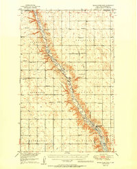
1950 · Mouse River Park
USGS Topo · 1:62,500

1953 · Williston
USGS Topo · 1:250,000