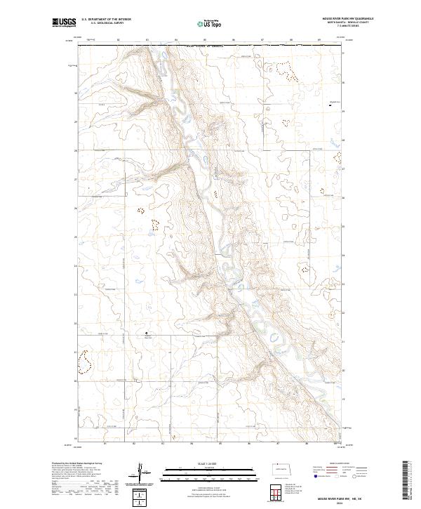
2024 Map of Mouse River Park NW
USGS Topo · Published 2024About this map
The Souris River meanders through this portion of Renville County, carving a distinct valley into the North Dakota prairie. The landscape is defined by the high plateaus of the Missouri Coteau, where the grid-based road system of the Public Land Survey System meets the natural curves of the waterway. Local history is anchored by markers such as Wigdahl Cem in the northeast and Pleasant View Cem near the river’s western banks. These sites, along with the section-line roads like Co Rd 2 and 109th ST NW, reflect the agricultural heritage and early settlement patterns of the region. The map reveals the relationship between the flat upland fields and the intricate drainage patterns leading down to the river valley, where River Rd and Valley Rd track the contour of the land.
Find a feature on this map
22 named features on this map. Tap any name to fly to it.
Don’t see what you’re looking for? This feature index may not catch every label — zoom into the map to look around manually.
Map Details
Editions of this 2024 Mouse River Park NW Map
This is the sole edition of this map. No revisions or reprints were ever made.
Other maps of this area

1948 · Mouse River Park NW
USGS Topo · 1:24,000

1949 · Mouse River Park NW
USGS Topo · 1:24,000

1949 · Bowbells SE
USGS Topo · 1:24,000

1949 · Bowbells NE
USGS Topo · 1:24,000

1949 · Mouse River Park NE
USGS Topo · 1:24,000

1949 · Mouse River Park SW
USGS Topo · 1:24,000

1949 · Mouse River Park
USGS Topo · 1:24,000

1950 · Bowbells
USGS Topo · 1:62,500
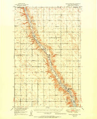
1950 · Mouse River Park
USGS Topo · 1:62,500

1953 · Williston
USGS Topo · 1:250,000