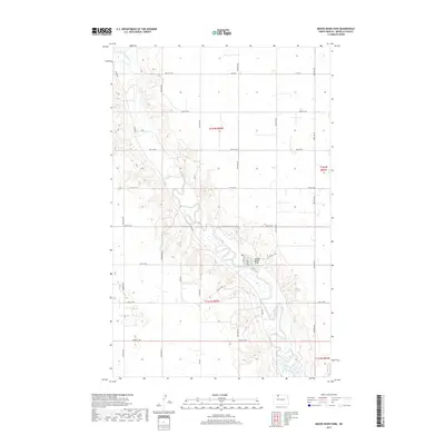
2017 Map of Mouse River Park
USGS Topo · Published 2017About this map
The Souris River meanders sharply through the north-central Dakota prairie, carving a distinct valley through the townships of Renville County. This landscape is defined by the contrast between the winding river corridor and the rigid, mile-by-mile grid of the Public Land Survey System, as seen in the boundaries of t162n r86w and its neighboring sections. The settlement at Mouse River Park serves as a primary local focal point, situated at a major bend in the river where Coles Rd and 95th St NW converge. The surrounding territory is a network of rural access roads like Co Rd 3 and Co Rd 4, which facilitate the agricultural and recreational movement through the valley. This 2017 survey illustrates a modern snapshot of the river's path, tracing every oxbow and tributary branch against the high plains of the t161n r86w region.
Find a feature on this map
24 named features on this map. Tap any name to fly to it.
Don’t see what you’re looking for? This feature index may not catch every label — zoom into the map to look around manually.
Map Details
Editions of this 2017 Mouse River Park Map
This is the sole edition of this map. No revisions or reprints were ever made.
Other maps of this area

1947 · Tolley
USGS Topo · 1:62,500

1948 · Norma
USGS Topo · 1:24,000

1948 · Mouse River Park NW
USGS Topo · 1:24,000

1948 · Tolley
USGS Topo · 1:24,000

1949 · Mohall SW
USGS Topo · 1:24,000

1949 · Mouse River Park NW
USGS Topo · 1:24,000

1949 · Sherwood
USGS Topo · 1:24,000

1949 · Greene
USGS Topo · 1:24,000

1949 · Mouse River Park NE
USGS Topo · 1:24,000

1949 · Mouse River Park SW
USGS Topo · 1:24,000