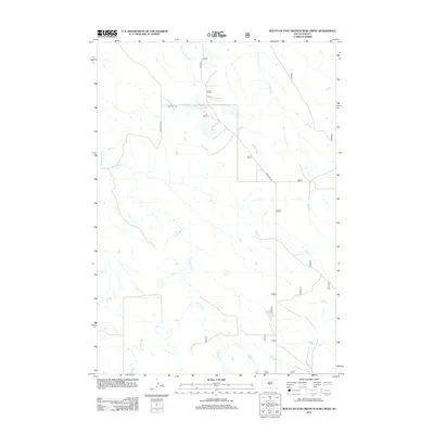
2012 Map of Mouth of East Branch War Creek
USGS Topo · Published 2012About this map
E Br War Cr and its complex network of tributaries define the hydrology of this Jones County landscape. The drainage system is characterized by the convergence of the W Br War Cr and the main stem of War Cr, creating a highly dissected terrain of prairie draws. Sparse human infrastructure is limited to a few arterial routes like War Creek Rd and the historically evocative Military Pl, which cuts north-south across the high ground. To the north, the headwaters of Yellow Shoulder Cr and Porcupine Cr indicate the watershed divide. This 2012 survey illustrates a modern environment of expansive ranching or open range, where the primary landmarks are not towns, but the seasonal watercourses and the utilitarian road network that follows the natural contours of the South Dakota plains.
Find a feature on this map
18 named features on this map. Tap any name to fly to it.
Don’t see what you’re looking for? This feature index may not catch every label — zoom into the map to look around manually.
Map Details
Editions of this 2012 Mouth of East Branch War Creek Map
This is the sole edition of this map. No revisions or reprints were ever made.
Other maps of this area

1924 · Pierre
USGS Topo · 1:62,500

1937 · Oahe
USGS Topo · 1:62,500

1953 · Teton
USGS Topo · 1:24,000

1953 · Pierre SW
USGS Topo · 1:24,000

1953 · Wendte NE
USGS Topo · 1:24,000

1953 · Pierre 3 NW
USGS Topo · 1:24,000

1954 · Pierre
USGS Topo · 1:250,000

1958 · Pierre
USGS Topo · 1:250,000

1972 · Pierre 3 SW
USGS Topo · 1:24,000

1972 · Pierre 3 SE
USGS Topo · 1:24,000