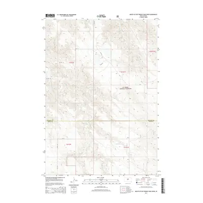
2015 Map of Mouth of East Branch War Creek
USGS Topo · Published 2015About this map
Ft. Pierre National Grassland dominates this central South Dakota landscape, where the prairie is dissected by a network of drainage creeks. The hydrologic pattern is defined by the confluence of War Cr with its various tributaries, including W Br War Cr and E Br War Cr. The map captures the remote character of the Stanley and Jones County line, a region where few modern structures exist outside of established section-line roads.
Find a feature on this map
18 named features on this map. Tap any name to fly to it.
Don’t see what you’re looking for? This feature index may not catch every label — zoom into the map to look around manually.
Map Details
Editions of this 2015 Mouth of East Branch War Creek Map
This is the sole edition of this map. No revisions or reprints were ever made.
Other maps of this area

1924 · Pierre
USGS Topo · 1:62,500

1937 · Oahe
USGS Topo · 1:62,500

1953 · Teton
USGS Topo · 1:24,000

1953 · Pierre SW
USGS Topo · 1:24,000

1953 · Wendte NE
USGS Topo · 1:24,000

1953 · Pierre 3 NW
USGS Topo · 1:24,000

1954 · Pierre
USGS Topo · 1:250,000

1958 · Pierre
USGS Topo · 1:250,000

1972 · Pierre 3 SW
USGS Topo · 1:24,000

1972 · Pierre 3 SE
USGS Topo · 1:24,000