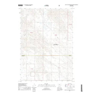
2017 Map of Mouth of East Branch War Creek
USGS Topo · Published 2017About this map
The Fort Pierre National Grassland dominates this central South Dakota landscape, where the high prairie meets a network of seasonal watercourses. This area, spanning the boundary between Stanley and Jones Counties, is defined by the drainage patterns of the E Br War Cr and W Br War Cr, which converge as they carve through the local topography. Isolated section lines and ranch roads like Warcreek Rd provide the primary access to this expansive grazing land. The map illustrates a characteristic Great Plains settlement pattern where modern infrastructure, including 224 St and 282nd Ave, adheres to the rigid grid of the Public Land Survey System while navigating the winding paths of Yellow Shoulder Cr and Porcupine Cr.
Find a feature on this map
15 named features on this map. Tap any name to fly to it.
Don’t see what you’re looking for? This feature index may not catch every label — zoom into the map to look around manually.
Map Details
Editions of this 2017 Mouth of East Branch War Creek Map
This is the sole edition of this map. No revisions or reprints were ever made.
Other maps of this area

1924 · Pierre
USGS Topo · 1:62,500

1937 · Oahe
USGS Topo · 1:62,500

1953 · Teton
USGS Topo · 1:24,000

1953 · Pierre SW
USGS Topo · 1:24,000

1953 · Wendte NE
USGS Topo · 1:24,000

1953 · Pierre 3 NW
USGS Topo · 1:24,000

1954 · Pierre
USGS Topo · 1:250,000

1958 · Pierre
USGS Topo · 1:250,000

1972 · Pierre 3 SW
USGS Topo · 1:24,000

1972 · Pierre 3 SE
USGS Topo · 1:24,000