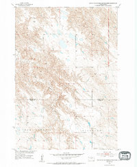
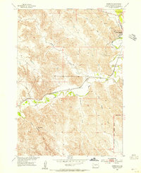
1953 Map of Mouth of East Branch War Creek
USGS Topo · Published 1994About this map
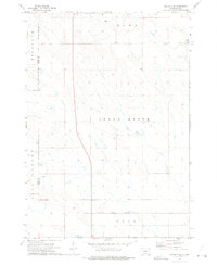
Richland occupies the southern reaches of this mid-century survey, a landscape defined by the drainage patterns of the Missouri River Basin development program. The confluence where the East Branch joins War Creek marks a significant hydrologic feature in this prairie terrain, which spans the border between Stanley Co and Jones Co. The map records a critical historical demarcation along its eastern edge: the Old Boundary Lower Brule Indian Reservation. This line provides a physical record of shifting jurisdictional boundaries and land use in central South Dakota. Aside from the primary watercourses like the West Br, the topography is characterized by intricate drainage draws and small prairie depressions, reflecting the state of the land shortly after aerial photography was used to document these remote rural townships.
Find a feature on this map
6 named features on this map. Tap any name to fly to it.
Don’t see what you’re looking for? This feature index may not catch every label — zoom into the map to look around manually.
Map Details
Editions of this 1953 Mouth of East Branch War Creek Map
2 editions found
Other maps of this area
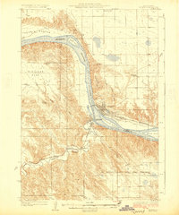
1924 · Pierre
USGS Topo · 1:62,500
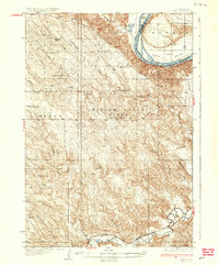
1937 · Oahe
USGS Topo · 1:62,500
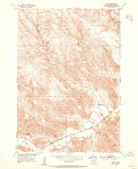
1953 · Teton
USGS Topo · 1:24,000
1953 · Pierre SW
USGS Topo · 1:24,000
1953 · Wendte NE
USGS Topo · 1:24,000
1953 · Pierre 3 NW
USGS Topo · 1:24,000

1954 · Pierre
USGS Topo · 1:250,000

1958 · Pierre
USGS Topo · 1:250,000
1972 · Pierre 3 SW
USGS Topo · 1:24,000
1972 · Pierre 3 SE
USGS Topo · 1:24,000