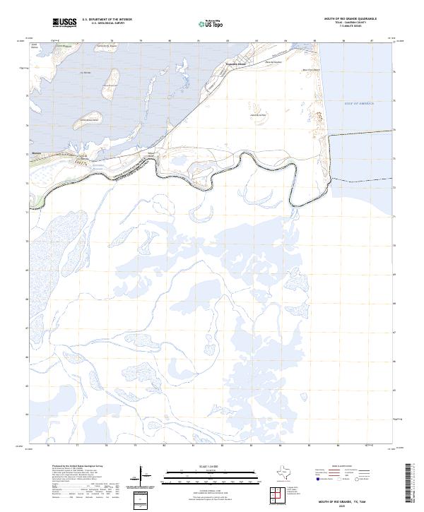
2025 Map of Mouth of Rio Grande
USGS Topo · Published 2025About this map
The Rio Grande serves as the international boundary on this coastal survey, winding eastward toward the Gulf of America. The landscape is dominated by a complex network of coastal wetlands and low-lying hills known as lomas, such as Loma de la Pita and Loma de las Vacas. These distinctive elevations provide some of the only high ground in a terrain otherwise defined by marshes and tidal flats. Settlement is concentrated near the coast at Kopernik Shores, where streets like Remedios Ave and Joanna St are laid out along the Boca Chica Blvd corridor.
Find a feature on this map
25 named features on this map. Tap any name to fly to it.
Don’t see what you’re looking for? This feature index may not catch every label — zoom into the map to look around manually.
Map Details
Editions of this 2025 Mouth of Rio Grande Map
This is the sole edition of this map. No revisions or reprints were ever made.
Other maps of this area

1929 · Palmito Hill
USGS Topo · 1:24,000

1929 · Point Isabel
USGS Topo · 1:24,000

1929 · Laguna Vista
USGS Topo · 1:24,000

1934 · Port Isabel
USGS Topo · 1:31,680

1936 · Palmito Hill
USGS Topo · 1:31,680

1936 · Laguna Vista
USGS Topo · 1:31,680
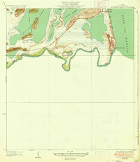
1936 · Mouth Of Rio Grande
USGS Topo · 1:31,680

1953 · Brownsville
USGS Topo · 1:250,000
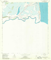
1955 · Mouth Of Rio Grande
USGS Topo · 1:24,000
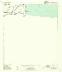
1955 · Mouth Of Rio Grande
USGS Topo · 1:62,500