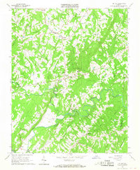
1966 Map of Mt Airy
USGS Topo · Published 1968About this map
Banister River meanders through the heart of this mid-1960s landscape, defining the local geography as it flows toward the Pittsylvania and Halifax County line. The area is characterized by a dense network of rural communities and church-centered settlements, such as Mt Airy and Riceville, connected by winding roads and several utility pipelines. The map captures a traditional Piedmont agricultural and woodland pattern, where small schools like Renan Sch and Mt Airy Sch served the surrounding family farms.
Find a feature on this map
31 named features on this map. Tap any name to fly to it.
Don’t see what you’re looking for? This feature index may not catch every label — zoom into the map to look around manually.
Map Details
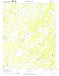
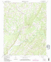
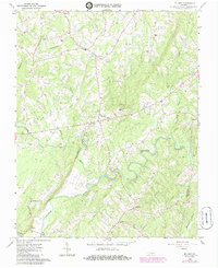
Editions of this 1966 Mt Airy Map
4 editions found
Other maps of this area

1892 · Lynchburg
USGS Topo · 1:125,000

1921 · Chatham
USGS Topo · 1:48,000

1923 · Chatham
USGS Topo · 1:62,500

1947 · Roanoke
USGS Topo · 1:250,000

1951 · Altavista
USGS Topo · 1:62,500

1953 · Greensboro
USGS Topo · 1:250,000

1954 · Greensboro
USGS Topo · 1:250,000

1954 · Riceville
USGS Topo · 1:62,500

1956 · Gladys
USGS Topo · 1:62,500

1959 · Roanoke
USGS Topo · 1:250,000