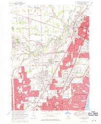
1968 Map of Mt Clemens West
USGS Topo · Published 1971About this map
The Clinton River and its various branches, including the Middle Branch and North Branch, anchor a landscape transitioning from agricultural drains to suburban density in Macomb County. This late-1960s environment shows intense residential development spreading through Warren, Roseville, and Sterling Heights. The infrastructure of the period is prominent, with the Grand Trunk Western railroad corridor and major thoroughfares like Gratiot Ave and Metropolitan Parkway facilitating rapid growth.
Find a feature on this map
117 named features on this map. Tap any name to fly to it.
Don’t see what you’re looking for? This feature index may not catch every label — zoom into the map to look around manually.
Map Details
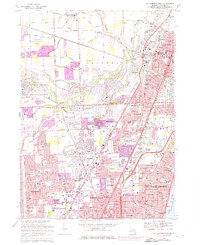
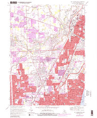
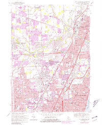
Editions of this 1968 Mt Clemens West Map
4 editions found
Other maps of this area

1905 · Detroit
USGS Topo · 1:62,500

1905 · Grosse Pointe
USGS Topo · 1:62,500

1908 · Rochester
USGS Topo · 1:62,500

1912 · Mt Clemens
USGS Topo · 1:62,500

1918 · Detroit
USGS Topo · 1:62,500

1918 · Grosse Pointe
USGS Topo · 1:62,500

1924 · Detroit
USGS Topo · 1:62,500

1929 · Mt Clemens
USGS Topo · 1:62,500

1934 · Detroit
USGS Topo · 1:62,500

1936 · Warren
USGS Topo · 1:31,680